PLATFORM SOLUTION
Delivering cutting-edge solutions
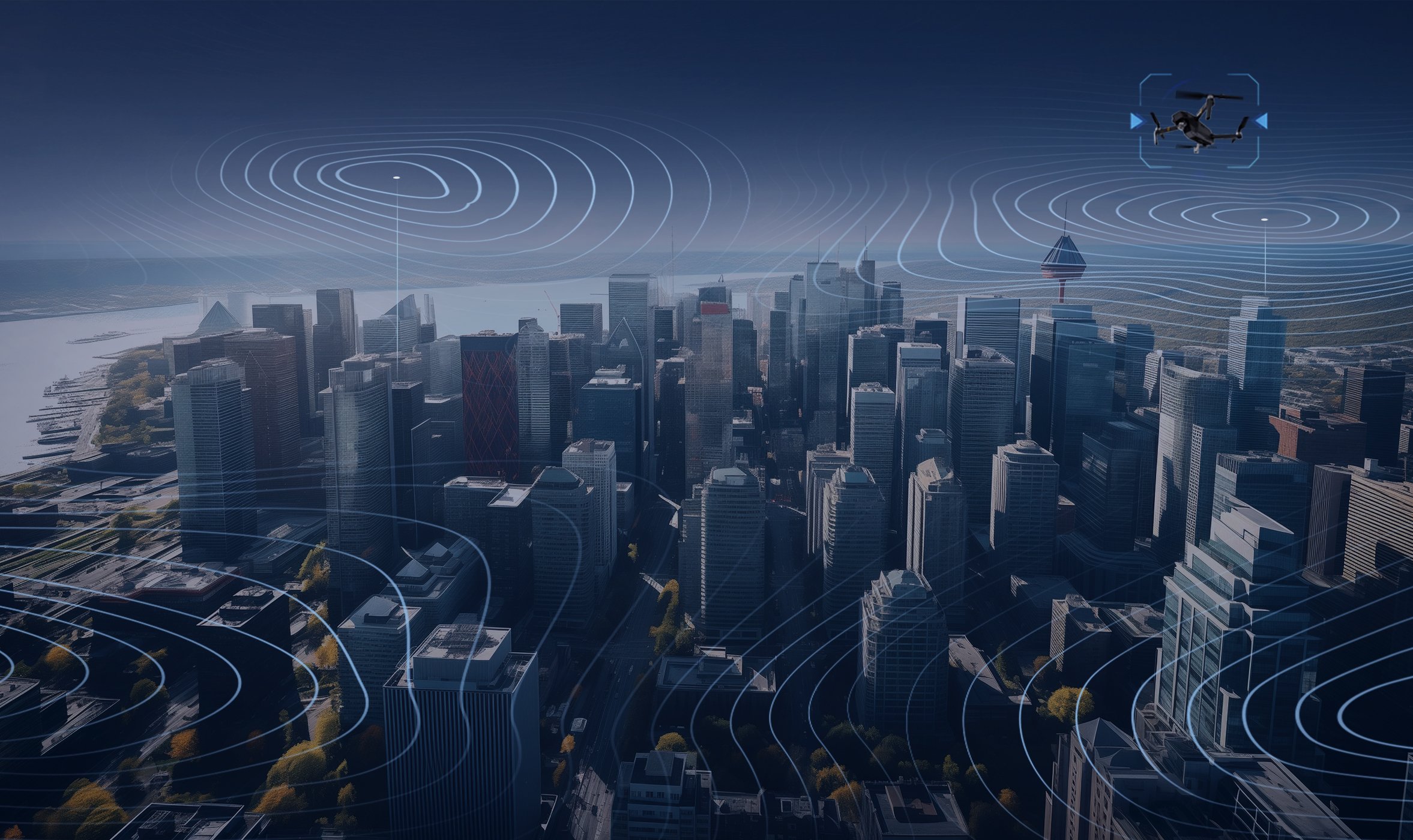
Bluvec’s Platform solution is a powerful, unified system supported by all Bluvec products. Designed for scalability, Bluvec’s platform makes it easy to manage any number of devices.
Bluvec’s advanced DSI-GEN2 technology gives users unprecedented insight into drone activity. Our sensors provide real-time geolocation (latitude and longitude) of the drone and pilot, as well as the drone’s model, make, serial number, radio frequency and altitude.
Groundbreaking technologies are only part of the equation. We also aim to deliver an exceptional user experience. Bluvec’s Platform features a beautifully designed interface. Made for smooth operation, Bluvec’s JUICE UI requires minimal training to navigate.
Bluvec’s Platform is designed for easy integration and can be combined with third-party sensors or radars. We provide a comprehensive API library for users who want to incorporate Bluvec products into their systems.
Our Platform is constantly evolving. Software updates are released every month. We continue to expand the platform's capabilities based on user feedback and requests.
THE TECHNOLOGY

Deep Signal Inspection (DSI)

Rapid Target Inspection (RTI)

Time-Difference-of-Arrival (TDOA)
DEEP SIGNAL
INSPECTION
Bluvec has pioneered an advanced signal detection technology called Deep Signal Inspection (DSI), which involves receiving and analyzing wireless signal protocols transmitted by various sources, such as drones, cell phones, and IoT devices.
The advantage of DSI is its ability to accurately detect and identify drones with minimal or near-zero false alarms, thanks to the deep inspection of wireless signal protocols. DSI can even distinguish between drones with the same brand and similar models, such as multiple DJI drones, due to its ability to recognize unique drone characteristics.
Bluvec has recently upgraded its DSI technology to DSI GEN-2 by analyzing signal protocols in the application layer.
This enhancement has allowed for more precise information to be extracted from the drone, such as its brand, model, serial number, flying status, GPS location, latitude, longitude, flying traces, as well as the real-time location of the remote controller.
Bluvec DSI GEN-2 supports various protocols, including Remote ID, Drone ID and Telemetry, that allow the detection of DJI, Autel, Mavlink and DIY drones.
Bluvec’s team updates the database monthly to improve the detection and identification of drones and makes it available to all partners in the Software and Drone Library Updates.
RAPID TARGET
INSPECTION
When it comes to detecting "ghost" or "silent" drones, even advanced RF technology may struggle. However, Bluvec has developed an intelligent solution to combat these silent threats: Rapid Target Inspection (RTI), which is optimized for capturing high-resolution 4k images of tiny targets. Our powerful camera network employs AI-assisted scanning strategies to pinpoint long-distance objects for target inspection quickly.
Due to its highly specialized training, the camera can detect targets that are only a few pixels in size. To distinguish between target objects and other flying objects, such as birds and airplanes, we utilize the deep features generated by our artificial neural network.
Bluvec has designed a hierarchical representation for detected objects and an intelligent ranking algorithm to ensure rapid target inspection. Our engine can score detected objects and focus on the most relevant targets, even in the presence of interference.
Additionally, by incorporating temporal information, our camera system can maintain a short-term memory of visual regions of interest. By observing frames in succession, the engine prioritizes targets based on their level of risk.
The RTI technology is a great solution for RF-silent UAVs (also known as “dark" drones").

TIME-DIFFERENCE
OF-ARRIVAL
Time-difference-of-arrival (TDOA) technology is an advanced method for determining the location of a transmitter. It works by measuring the time differences for a transmitted signal to reach each node of a receiver network. By using TDOA measurements, a network of spatially separated Blusensors can accurately determine the location of a drone that is detected simultaneously by at least three sensors in the network, with an accuracy of tens of meters even when the sensors are several kilometres apart.
When a sensor recognizes the synchronization sequence of the drone's radio link, it can estimate the timing of the drone's signal relative to the sensor's time base. Two sensors with a common time base can then measure a TDOA from the drone and translate it to a range difference using the speed of radio wave propagation. In a plane, the range difference defines a hyperbola of possible drone locations passing between the two sensors, with each point on the hyperbola representing a possible drone location.
A second hyperbola of possible drone locations can be determined by pairing sensors with a third sensor on the same time base. The intersection of the two hyperbolas would precisely determine the drone's location.
JUICE UI
A powerful platform with a user-friendly interface
Bluvec’s software is built to seamlessly integrate with all Bluvec products and can also be combined with third-party C-UAS sensors. Our software runs on a unified platform with a beautifully designed UI.
Bluvec’s user-friendly JUICE UI is designed to power scalable operations. Users can easily set up a network of devices and view all drone events in a single, centralized feed. The platform also enables users to define defence zones on the map. Users can assign a danger level to each defence zone and set up automatic drone mitigation when intruders enter danger zones.
Bluvec’s DSI technology can fingerprint individual drones and even differentiate between drones of the same make and model. This means that users can disable warnings for specific drones for more flexible management of airspace security.
With Bluvec’s platform, drone alert strategies are highly customizable and can be adapted for various deployment scenarios.


EVIDENCE AND ANALYTICS THAT MATTER
All drone detections are time stamped and recorded on Bluvec’s platform. Depending on the device type, users can view photos, videos, drone model and make information, and the location trace of the drone and pilot. Live trajectories of the drone and pilot are overlaid on the map, so that the user can monitor drone movements in real time.
Data is aggregated temporally into history maps, making it convenient to inspect areas of heightened activity. Furthermore, JUICE summarizes detection statistics into data visualizations, providing users with further insights on drone event trends.
BENEFITS

Cloud integration

Fully open APIs

User-friendly interface

Command and control platform

Advanced analytics
Cloud connectivity is supported by all Bluvec products, enabling more flexible deployment and management of devices. Users can remotely monitor multiple devices through the Cloud, even across different deployment sites. Users can also set up email alerts for drone threats in order to be notified in real-time when there are intrusions.
Centralized access enhances Bluvec’s highly scalable solutions. Cloud users can control a network of devices, using a single access point. Drone events are aggregated across devices and automatically uploaded to the Cloud. Even if data is lost locally, a backup copy of drone events will be securely stored on the Cloud.
Bluvec offers free Cloud access when users purchase a Bluvec software license. For environments that require onsite management, Bluvec's system can also be configured to run locally.

FLEXIBLE OPERATION VIA THE CLOUD
SOFTWARE LICENSE BENEFITS
By purchasing a Bluvec software license, users can access additional software features. Every Bluvec product comes with a free 6-month trial license.
-
Get access to Bluvec’s monthly software updates, including bug fixes and feature improvements.
-
Bluvec’s team is always researching new drones, in order to expand the capabilities of DSI GEN-2 further. With a software license, users can enjoy the latest upgrades to the drone library.
-
Bluvec adds new software features regularly based on user feedback and requests.
-
Bluvec’s team can provide product training, technical support, and troubleshooting if needed.
-
With a software license, users have free Cloud access. Through the Cloud, users can remotely monitor devices, even across different deployment sites.